
N'Zi (river)
| N'Zi | ||
 The N'Zi in the Bandama river system (right) |
||
| Data | ||
| location |
|
|
| River system | Bandama | |
| Drain over | Bandama → Gulf of Guinea | |
| source | in the Savanes district near the city of Kong | |
| muzzle | near N'Zianouan in Bandama Coordinates: 5 ° 57 ′ 27 " N , 4 ° 50 ′ 28" W, 5 ° 57 ′ 27 " N , 4 ° 50 ′ 28" W.
|
|
| length | 725 km | |
| Catchment area | 35,000 km² | |
| Discharge at the Dimbokro A Eo gauge : 24,100 km² Location: 180 km above the estuary |
NNQ MNQ MQ Mq MHQ HHQ (Oct 1968) |
0 l / s 1.4 m³ / s 63.6 m³ / s 2.6 l / (s km²) 231 m³ / s 646 m³ / s |
| Left tributaries | M'bé | |
| Right tributaries | Came , Foro-Foro | |
 The N'Zi at Dimbokro |
||
The N'Zi is a river that runs in the Ivory Coast ( Côte d'Ivoire ).
course
It rises in the north of the country near the city of Kong and runs south. The first half of the river flows through dry, sparsely populated areas. After crossing the Fétékro Mountains, the valley widens and the gradient decreases. The N'Zi flows into the Bandama near the town of N'Zianouan .
The Dimbokro Railway Bridge , a steel truss bridge , leads the Abidjan-Niger Railway across the river.
Hydrometry
The flow rate of the river was measured in Dimbokro in the 1950s and 1960s at over 2/3 of the catchment area in m³ / s. It should be noted that the fluctuations between the years are unusually high and the following diagram only reflects reality to a limited extent.

Individual evidence
- ↑ a b c Publication of JICA
- ↑ a b Diwbokro gauge
- ↑ Tié Albert Goula, Issiaka Savane, Brou Konan, Vamoryba Fadika, Gnamien Béatrice Kouadio: Impact de la variabilité climatique sur les ressources hydriques des bassins de N'Zo et N'Zi en Côte d'Ivoire (Afrique tropicale humide). April 2006, accessed April 5, 2019 (French).
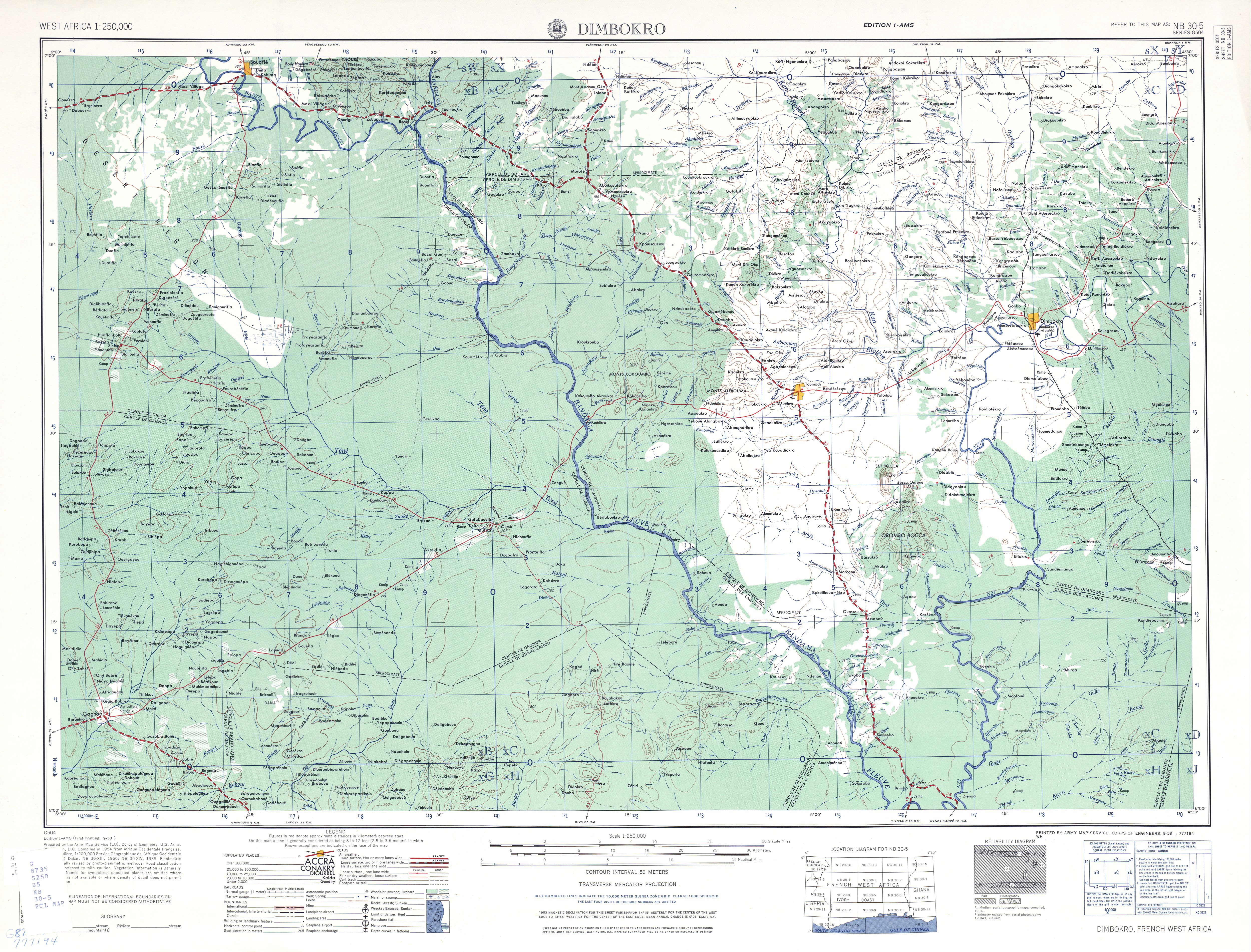
- ↑ TK250 West Africa, sheet NB30-5 NIMBOKRO. In: Univ. Texas Austin, map collection. Retrieved April 5, 2019 .