
Wittsmoor NDR measuring and receiving station
Coordinates: 53 ° 37 ′ 38.6 " N , 9 ° 43 ′ 25.1" E


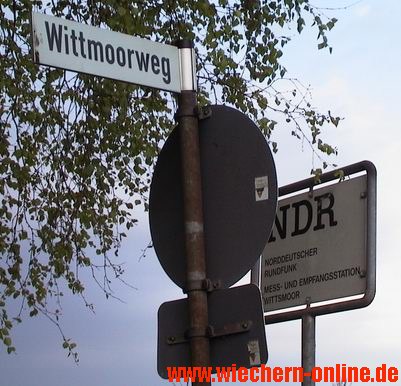
After the establishment of the ARD through the amalgamation of the German state broadcasting corporations in June 1950, a joint measuring and receiving station for monitoring the radio bands was put into operation by the NWDR in May 1951 . It was set up in Holm ( Pinneberg district ) on Wittmoorweg (field name "Wittsmoor") and was officially called " Wittsmoor measuring and receiving station ". During this time, a massive expansion of the FM radio and television network began in Germany.
The receiving steel mast (80 m) erected in 1950 was demolished by the NDR in early 2003 and replaced by the larger steel truss mast (118 m) installed in 1998. At the same time, there was no longer any need in Germany for the original "measurement and reception tests", and at the end of 1998 all coastal radio services were switched off.
The station is now called " Sender Wedel " or " Holm-NDR-Technikzentrum Wittsmoor ", houses a large archive of sound carriers in several buildings and is used to broadcast the NDR radio program from N-Joy (95.6 MHz; 0, 2 kW ERP in the south-west direction ) and a DVB-T bouquet (530 MHz; 25 kW).
For the years 1967 to 2005, the NDR measuring and receiving station Wittsmoor published an up-to-date frequency list of all German broadcasting stations under the title radio and television stations in the Federal Republic of Germany . Unlike the directory of the sound and television broadcasting stations in the Federal Republic of Germany of the Deutsche Bundespost (approx. 1960 to 1993), the so-called Wittsmoor list also included channels in the GDR in an appendix, but no coordinates. The Wittsmoor list was updated free of charge on the Internet by the Institute for Broadcasting Technology (Munich) until June 2018 .
Individual evidence
- ^ ARD press release May 10, 1951
- ↑ signage
- ^ Landscape plan of the city of Wedel ( Memento from April 2, 2015 in the Internet Archive ). (PDF; 8 MB).
- ↑ Photos of the NDR measuring and receiving station Wittsmoor March / April 2003
- ^ Erection of a new transmission mast in 1998
- ↑ ZDB -ID 155070-6
- ↑ ZDB -ID 1166759-x , 1993 under the title Terrestrischer Rundfunk (FTZ 17 AB 11), ZDB -ID 2055198-8
- ↑ DVB-T2 / AM radio transmitter / FM radio transmitter / DAB radio transmitter . - The list is only updated at longer intervals.
Web links
- Institute for Broadcasting Technology (Munich)
- Online research of FM reception options relative to your own location
Remarks
- ↑ The official field name in 2009 was "Wittsmoor". It is likely that the original field name "Wittmoor" to distinguish it from the 25 km north-eastern and history loaded " Wittmoor " after 1945 "Witt s was moor" renamed. Inferior “ white peat ” generally means “Wittmoor” or “Plaggtorf” in Low and Low German and can be found as the top layer in all north German peat and moor areas.