Obtowe
| Obtowe | ||
| Обтове | ||

|
|
|
| Basic data | ||
|---|---|---|
| Oblast : | Sumy Oblast | |
| Rajon : | Krolevets Raion | |
| Height : | 130 m | |
| Area : | Information is missing | |
| Residents : | 1,504 (2001) | |
| Postcodes : | 41340 | |
| Area code : | +380 5453 | |
| Geographic location : | 51 ° 37 ' N , 33 ° 12' E | |
| KOATUU : | 5922686801 | |
| Administrative structure : | 3 villages | |
| Address: | площа Перемоги буд. 1 41340 с. Обтове |
|
| Website : | City council website | |
| Statistical information | ||
|
|
||
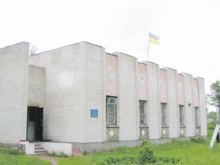
Obtowe ( Ukrainian Обтове ; Russian Обтово Obtowo ) is a village in the west of the Ukrainian Sumy Oblast with about 1500 inhabitants (2001).
The well-known since the mid-17th century village is the administrative center of the eponymous district municipality in the northwest of Rajon Krolevets to which even the villages Hubariwschtschyna ( Губарівщина , ⊙ ) with about 80 inhabitants and Pohoriliwka ( Погорілівка , ⊙ include) with about 190 inhabitants.
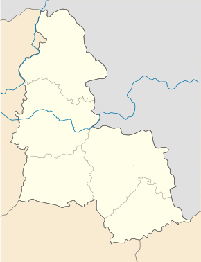
The village is located at an altitude of 130 m on the left bank of the Ret ( Реть ), a 53 km long left tributary of the Esman ( Есмань ), 17 km northwest of the Krolewez district center and 160 km northwest of the Sumy oblast center .
Web links
Commons : Obtowe - collection of images, videos and audio files
Individual evidence
- ↑ Local website on the official website of the Verkhovna Rada ; accessed on July 22, 2019 (Ukrainian)
- ↑ history Obtowe in the history of the towns and villages of the Ukrainian SSR ; accessed on July 22, 2019 (Ukrainian)
- ^ Website of the district council on the official website of the Verkhovna Rada; accessed on July 22, 2019 (Ukrainian)


