
Ok Tedi (river)
| Ok Tedi | ||
 Location of Ok Tedi |
||
| Data | ||
| location | Western Province ( Papua New Guinea ) | |
| River system | Fly | |
| Drain over | Fly → Gulf of Papua | |
| source | in the Victor Emanuel chain 5 ° 5 ′ 24 ″ S , 141 ° 13 ′ 5 ″ O |
|
| Source height | 1619 m | |
| muzzle | at D'Albertis Junction in the Fly coordinates: 6 ° 10 ′ 5 ″ S , 141 ° 7 ′ 9 ″ E 6 ° 10 ′ 5 ″ S , 141 ° 7 ′ 9 ″ E |
|
| Mouth height | 22 m | |
| Height difference | 1597 m
|
|
| Small towns | Tabubil | |
 Satellite image of the Ok Tedi |
||
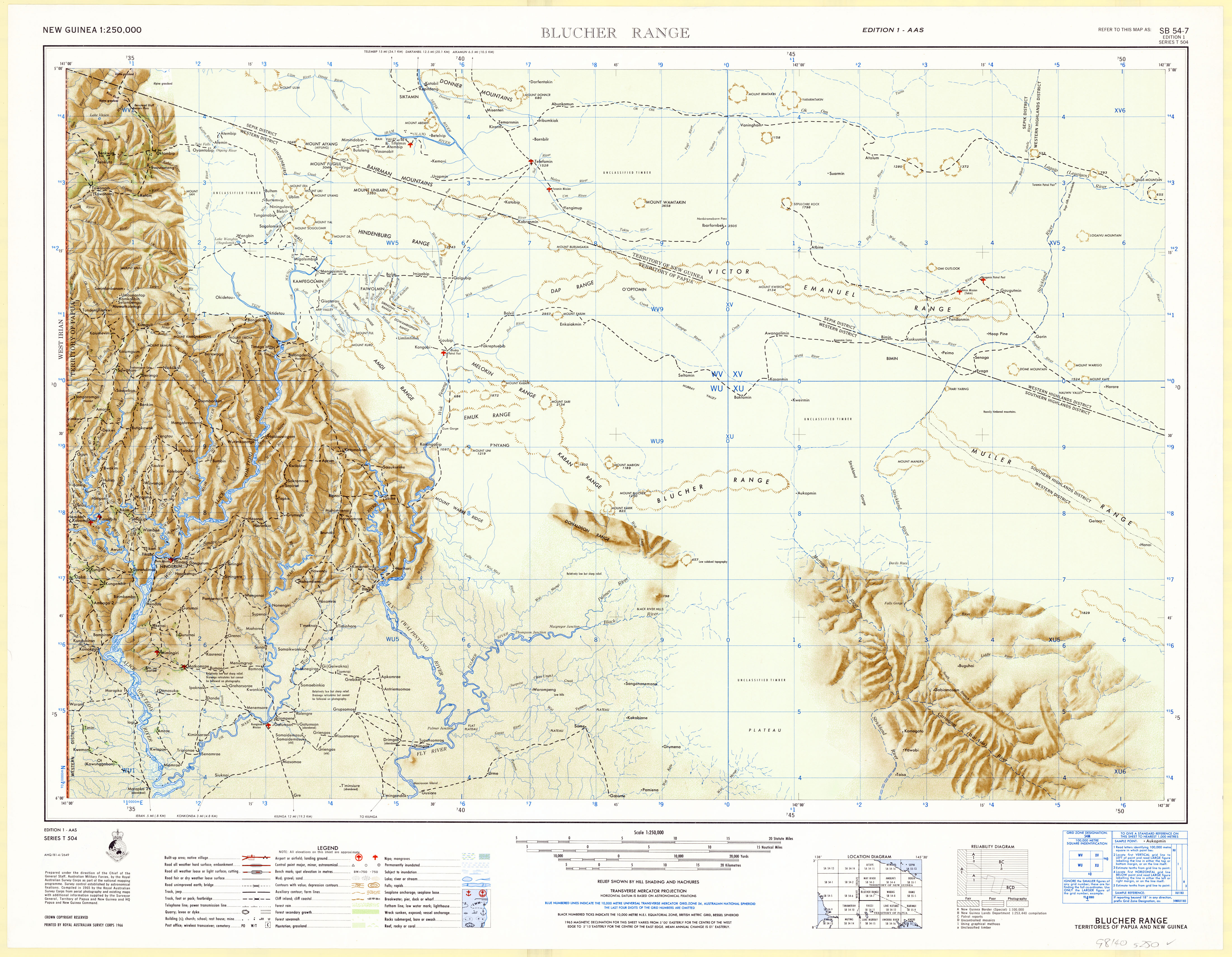
The Ok Tedi is one of the main tributaries of the Fly in the North Fly District of the Western Province of Papua New Guinea .
It takes its name from the Yonggom ethnic group living on its western bank, in whose language "Ok" means water or river. The Italian explorer Luigi Maria d'Albertis named it after the wife of the governor of New South Wales Alice when it was discovered in 1876 .
The Ok Tedi rises at an altitude of 1619 m in the Star Mountains in one of the wettest areas on earth not far from the border with the Indonesian province of Papua , takes a southern course, in the flatter part strongly meandering through the rainforest, and flows at 22 m above sea level. NN in the fly.
Ok Tedi is the namesake for the mining company Ok Tedi Mining Limited , a subsidiary of BHP Billiton , and the Ok Tedi opencast mine operated by it . Open-cast mining and the disposal of overburden into the river brought with it environmental problems, similar to those of the world's largest gold and important copper mining site, the Grasberg mine , on Sepik , to the north .
Individual evidence
- ^ LM d'Albertis: New Guinea. What I did and what I saw. Vol II. Sampson, Low, Marston, Searl & Rivington. London. 1880