Osensjøen
| Osensjøen | ||
|---|---|---|

|
||
| View from Sørlistøa Fløtermuseum to Osensjøen | ||
| Geographical location | Trysil , Åmot in Innlandet ( Norway ) | |
| Drain | Søre Osa → Renaelva → Glomma | |
| Data | ||
| Coordinates | 61 ° 15 ′ N , 11 ° 50 ′ E | |
|
|
||
| Altitude above sea level | 439.5 moh. | |
| surface | 43.32 km² | |
| scope | 439.5 km | |
| Maximum depth | 109 m | |
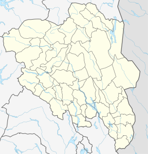
The Osensjøen (also Ossjøen ) is a lake in the municipalities Åmot and Trysil in Fylke Innlandet in Norway . The lake has its outflow via Søre Osa to Renaelva and Glomma .
At the northern end of Osensjøen is the place Nordre Osen in the municipality of Åmot. On the west bank of the lake is the Sørlistøa fløtermuseum (rafting museum). At the southern end of the lake is the Søre Osen bay , which belongs to the Trysil municipality. Most of the lake area is in the Trysil municipality. On the east side of Osensjøen there are some of the oldest farms in the area, which bear witness to the immigration of forest fins in the mid-17th century.
The lake is regulated and is used as a reservoir for the Osa power plant (90 MW ).
