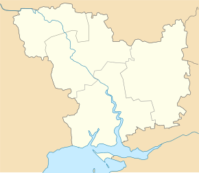
Pawliwka (Snihuriwka)
| Pavlivka | ||
| Павлівка | ||

|
|
|
| Basic data | ||
|---|---|---|
| Oblast : | Mykolaiv Oblast | |
| Rajon : | Snihurivka district | |
| Height : | 29 m | |
| Area : | Information is missing | |
| Residents : | 1,119 (2001) | |
| Postcodes : | 57313 | |
| Area code : | +380 5162 | |
| Geographic location : | 47 ° 4 ' N , 32 ° 51' E | |
| KOATUU : | 4825783701 | |
| Administrative structure : | 2 villages | |
| Address: | пров. Ветеранів 1 57313 с.Павлівка |
|
| Website : | City council website | |
| Statistical information | ||
|
|
||
Pavlivka ( Ukrainian Павлівка ; Russian Павловка Pawlowka ) is a village in the east of the Ukrainian Oblast of Mykolaiv with about 1100 inhabitants (2001).
The village, first mentioned in writing in 1786, was the administrative center of a district council of the same name in the east of Snihuriwka Rajon , to which the village of Ivano-Kepyne ( Івано-Кепине , ⊙ ) with about 800 inhabitants belonged 3 km to the south . After a regional reform, the village became part of the regional community of Snihuriwka.
The village is located south of the village of Vasylivka on the left bank of the Inhulez , a tributary of the Dnieper and opposite the city of Snihuriwka , which forms the administrative center of the Rajon and can be reached via a bridge in the north of the village after about 7 km. The village is located at an altitude of 29 m , 74 km east of Mykolaiv Oblast center .
Web links
- Village website on the official website of the Snihurivka Raion Council (Ukrainian)
Individual evidence
- ↑ a b local website on the official website of the Verkhovna Rada ; accessed on May 21, 2019 (Ukrainian)
- ^ Website of the district council on the official website of the Verkhovna Rada; accessed on May 21, 2019 (Ukrainian)
- ↑ Снігурівська міська об'єднана територіальна громада , Миколаївська область; accessed on May 21, 2019 (Ukrainian)


