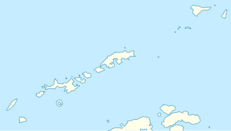
Popovo Saddle
| Popovo Saddle ( mountain saddle ) |
|||
|---|---|---|---|
|
Map of Smith Island with the Popovo Saddle (upper half of the map) |
|||
| Compass direction | Southwest ( Tschuprene Glacier ) | East ( Owetsch Glacier ) | |
| height | 1550 m | ||
| Smith Island , South Shetland Islands | |||
| Mountains | Imeon Range | ||
| map | |||
|
|
|||
| Coordinates | 62 ° 57 '34 " S , 62 ° 29' 24" W | ||
The Popovo Saddle (English; Bulgarian Поповска седловина Popowska sedlowina ) is a 1550 m high mountain saddle on Smith Island in the archipelago of the South Shetland Islands . In the Imeon Range, it lies between Drinov Peak in the north and Sevlievski Peak in the south. It represents the watershed between the Owetsch Glacier in the east and the Tschuprene Glacier in the southwest.
Bulgarian scientists mapped it in 2009. The Bulgarian Commission for Antarctic Geographical Names named it in the same year after the city of Popowo in northeastern Bulgaria .
Web links
- Popovo Saddle in the Composite Gazetteer of Antarctica (English)

