Porong Ri
| Porong Ri | ||
|---|---|---|
|
Porong Ri on the right edge of the picture, in the center the Shishapangma massif |
||
| height | 7292 m | |
| location | Tibet Autonomous Region ( PR China ) | |
| Mountains | Jugal Himal ( Himalaya ) | |
| Dominance | 5.46 km → Yebokangal Ri | |
| Notch height | 520 m ↓ ( 6772 m ) | |
| Coordinates | 28 ° 23 '13 " N , 85 ° 43' 7" E | |
|
|
||
| First ascent | May 14, 1982 by a Japanese expedition | |
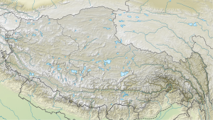
The Porong Ri is located in the Central Himalayas in the Tibet Autonomous Region ( People's Republic of China ).
The 7,292 m high mountain is located in Nyalam district of the district-free city of Xigazê . The Nepalese border is one kilometer southwest of the summit. The eight-thousander Shishapangma is located 7.5 km southeast of the Porong Ri. The Porong Ri is considered the 86th highest mountain on earth.
Ascent history
The first ascent was made by a Japanese expedition. The two climbers Minoru Wada and Yukio Eto reached the summit on May 14, 1982. Minoru Wada had a fatal accident on the descent.
Web links
Commons : Porong Ri - collection of images, videos and audio files
- Porong Ri at summitpost.org
- Porong Ri on Peakbagger.com (English)
- Photo at mountainsoftravelphotos.com
Individual evidence
- ↑ a b c Asia, China, Porong Ri, First Ascent and Tragedy . AAJ, 1983, vol. 25th

