Rainkopf
| Rainkopf | ||
|---|---|---|
|
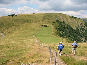
Rainkopf from the south, on the left the Route des Crêtes |
||
| height | 1304 m | |
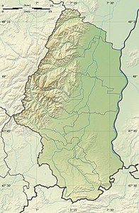
| location | Border of the Vosges / Haut-Rhin departments , France | |
| Mountains | Vosges | |
| Coordinates | 48 ° 0 '35 " N , 6 ° 58' 58" E | |
|
|
||
| rock | granite | |
The Rainkopf is a 1304 m high mountain in the High Vosges . The border between Alsace and Lorraine and between the departments of Vosges and Haut-Rhin runs over the summit . Just a little west of the Rainkopf summit, the Route des Crêtes runs south from the Col de la Schlucht . To the east, below the Rainkopf, lies the Altenweiher, to the west of the Lac de Blanchemer. North below the summit is the Refuge du Rainkopf of Club Vosgien Mulhouse .
Web links
Commons : Rainkopf - collection of images, videos and audio files

