San Juan de Cinco Pinos
| San Juan de Cinco Pinos | ||
|---|---|---|
|
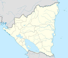
Coordinates: 13 ° 14 ′ N , 86 ° 52 ′ W San Juan de Cinco Pinos on the map of Nicaragua
|
||
| Basic data | ||
| Country | Nicaragua | |
| Department | Chinandega | |
| City foundation | 1879 | |
| Residents | 5894 (2005) | |
| - in the metropolitan area | 6,781 | |
| Detailed data | ||
| surface | 60 km 2 | |
| Population density | 98 inhabitants / km 2 | |
| height | 400 m | |
| City structure | Cinco Pinos (main town), 14 other comarcas | |
| Post Code | 27200 | |
| Time zone | UTC −6 | |
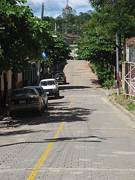
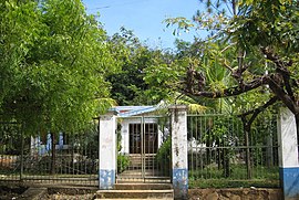
San Juan de Cinco Pinos is a municipality in the Chinandega department in the northwest of the Central American state of Nicaragua .
history
The place was founded in 1879 by immigrants from neighboring Honduras on the eastern edge of a small village called Villa Salvadorita . In the early 1950s, with the development of cotton growing, the city was renamed San Juan de Cinco Pinos.
geography
San Juan de Cinco Pinos is located on the NIC-32 in the triangle between San Francisco del Norte in the east, San Pedro del Norte directly on the border with Honduras in the north and Santo Tomás del Norte also directly on the border in the west. Chinandega , the capital of the department, is about 100 km south and can be easily reached via the asphalt NIC-32. Managua is a good 200 km south.
structure
In addition to the main town of Cinco Pinos, there are 14 comarcas that together make up 80% of the population.
Culture
Every year from February 9th to 11th, celebrations in honor of the patron saint San Caralampio with the traditional costume dance Toro Huaco take place.


