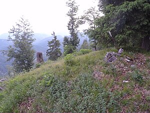
Saurüsselkopf (Tegernsee Mountains)
| Proboscis | ||
|---|---|---|
|
Summit of the Saurüsselkopf |
||
| height | 1364 m above sea level NHN | |
| location | Bavaria | |
| Mountains | Tegernsee mountains | |
| Dominance | 1.3 km → Schönberg | |
| Notch height | 283 m | |
| Coordinates | 47 ° 37 ′ 21 ″ N , 11 ° 39 ′ 5 ″ E | |
|
|
||
The Saurüsselkopf is a 1364 m high summit of the mountain ridge called Hohenwiesner Berg in the Bavarian Prealps and forms its eastern end. The boundary between Lengries and Kreuth runs over the summit.
The highest point of the Saurüsselkopf can only be reached without a path.

