Shcherbani (Voznesensk)
| Shcherbani | ||
| Щербані | ||

|
|
|
| Basic data | ||
|---|---|---|
| Oblast : | Mykolaiv Oblast | |
| Rajon : | Voznesensk Raion | |
| Height : | 43 m | |
| Area : | 1.642 km² | |
| Residents : | 1,944 (2004) | |
| Population density : | 1,184 inhabitants per km² | |
| Postcodes : | 56553 | |
| Area code : | +380 5134 | |
| Geographic location : | 47 ° 31 ' N , 31 ° 45' E | |
| KOATUU : | 4822085401 | |
| Administrative structure : | 4 villages | |
| Address: | вул. Кірова 88 56553 с. Щербані |
|
| Statistical information | ||
|
|
||
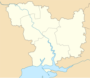
Shcherbani ( Ukrainian Щербані ; Russian Щербани Shcherbani ) is a village in the center of the Ukrainian Oblast of Mykolaiv with about 1900 inhabitants (2004).
The village was founded in 1734 is located on the right bank of the Hnylyj Jelanez ( Гнилий Єланець ), a 103 km long left tributary of the Southern Bug and is the administrative center of the eponymous district municipality in the east of Rajon Wosnessensk to which even the villages novoukrainka ( Новоукраїнка ) Trojizke ( Троїцьке ) and Shevchenko ( Шевченко ) belong.
Shcherbani is 39 km east of the Voznesensk district center and 77 km north of the Mykolaiv oblast center .
Web links
Commons : Shcherbani - collection of images, videos and audio files
Individual evidence
- ↑ The village's website on the Verkhovna Rada website , accessed on July 12, 2015


