Sepu Kangri
| Sepu Kangri | ||
|---|---|---|
| height | 6956 m | |
| location | Districts of Biru , Banbar in Tibet ( PR China ) | |
| Mountains | Nyainqêntanglha | |
| Dominance | 165.81 km → Gyala Peri | |
| Notch height | 2213 m ↓ (4743 m) | |
| Coordinates | 30 ° 54 '15 " N , 93 ° 47' 9" E | |
|
|
||
| First ascent | October 2, 2002 by Carlos Buhler and Mark Newcomb | |
The Sepu Kangri is a mountain in Tibet Autonomous Region .
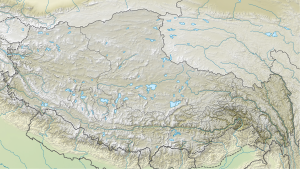
The mountain is located 285 km east-northeast of Lhasa and 178 km east-southeast of the city of Nagqu . At 6956 m it forms the highest point in the eastern part of the Nyainqêntanglha Mountains .
Ascent history
Chris Bonington and Charles Clarke explored the mountain in 1996. In the following two years they tried unsuccessfully to climb Sepu Kangri.
Finally, on October 2, 2002, Carlos Buhler and Mark Newcomb made the first ascent .
Web links
Sepu Kangri, China on Peakbagger.com (English)
