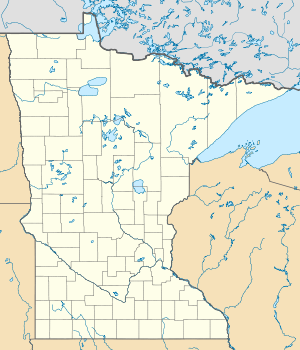
Shady Oak Lake
| Shady Oak Lake | ||
|---|---|---|
| Geographical location | Minnetonka , Hennepin County , Minnesota , USA | |
| Tributaries | no | |
| Drain | none | |
| Data | ||
| Coordinates | 44 ° 54 '38 " N , 93 ° 25' 54" W | |
|
|
||
| Altitude above sea level | 276 m | |
| surface | 53 ha | |
| Maximum depth | 10.7 m | |
The Shady Oak Lake (also known as Shady Lake called) is a lake in Minnetonka in Hennepin County in the US state of Minnesota . It's located east of the city on Shady Oak Road or 500 meters east of Interstate 494 . The area of the lake with the littoral is 53 hectares. The maximum depth is 10.7 meters.
Fish stocks
A 1991 fish inventory at Shady Oak Lake identified the following fish species :
-
Perchy :
- Blue sunfish ( Lepomis macrochirus )
- Common bluegill ( Lepomis gibbosus )
- Largemouth bass ( Micropterus salmoides )
- Black-spot sunfish ( Pomoxis nigromaculatus )
- Diverse perch hybrids
-
Pike-like :
- Northern pike ( Esox lucius )
-
Carp-like :
- Common carp ( Cyprinus carpio )
-
Catfish :
- Yellow catfish ( Ameiurus natalis )
- Catfish ( Ameiurus nebulosus )
- Black pygmy catfish ( Ameiurus melas )
Web links
Individual evidence
- ^ US Geological Survey. Geographic Names Phase I data compilation (1976-1981). 31-Dec-1981. Primarily from US Geological Survey 1: 24,000-scale topographic maps (or 1: 25K, Puerto Rico 1: 20K) and from US Board on Geographic Names files. In some instances, from 1: 62,500 scale or 1: 250,000 scale maps
- ↑ Shady Oak Lake in the Geographic Names Information System of the United States Geological Survey
- ↑ a b Lake information report: Minnesota DNR
