Sugar Loaf (Sierra Leone)
| Sugar Loaf (Mountain) | ||
|---|---|---|
|
A landslide on Sugar Loaf destroyed parts of Regent in 2017 |
||
| height | 735 m | |
| location | Sierra Leone | |
| Mountains | Lion mountains | |
| Coordinates | 8 ° 25 '19 " N , 13 ° 13' 50" W | |
|
|
||
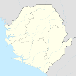
The Sugar Loaf , also Sugar Laf Mountain , is one of the highest mountains in the Lion Mountains in Sierra Leone, West Africa . It reaches a height of 735 m and is located in the Western Area Peninsular National Park in the Western Area not far from the town of Regent .
On April 27th, Independence Day in Sierra Leone, the Sugar Loaf is a popular excursion and entertainment destination.
Parts of the mountain fell off in a landslide in the vicinity of the storm in Sierra Leone in 2017 and buried hundreds of people under them.
Individual evidence
- ^ Sugar Loaf. Peakery. Retrieved October 9, 2017.
- ^ Sugar Loaf Mountain. VSLTravel. ( Page no longer available , search in web archives ) Info: The link was automatically marked as defective. Please check the link according to the instructions and then remove this notice. Retrieved October 9, 2017.
- ↑ Sierra Leone mudslides: Urgent plea for help as death toll rises. In: BBC, August 15, 2017.

