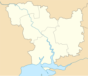
Taschyne
| Taschyne | ||
| Ташине | ||

|
|
|
| Basic data | ||
|---|---|---|
| Oblast : | Mykolaiv Oblast | |
| Rajon : | Berezanka district | |
| Height : | 24 m | |
| Area : | 1.52 km² | |
| Residents : | 467 (2004) | |
| Population density : | 307 inhabitants per km² | |
| Postcodes : | 57430 | |
| Area code : | +380 5153 | |
| Geographic location : | 46 ° 55 ' N , 31 ° 7' E | |
| KOATUU : | 4820985001 | |
| Administrative structure : | 3 villages | |
| Address: | 57430 с Ташине | |
| Statistical information | ||
|
|
||
Taschyne ( Ukrainian Ташине ; Russian Ташино Taschino ) is a village in the southwest of the Ukrainian Oblast Mykolaiv with about 450 inhabitants (2004).
Taschyne is located at 24 m above sea level on the Tylihul Liman in the west of the Berezanka district . The Beresanka district center is located 30 km south-east and the Mykolaiv Oblast center 85 km east of the village.
The district council , whose administrative center is Taschyne , still includes the villages of Ljublyne ( Люблине ⊙ ) with about 150 inhabitants and Prohressiwka ( Прогресівка ⊙ ) with about 400 inhabitants.
Individual evidence
- ↑ Taschyne local website on the official website of the Verkhovna Rada ; Retrieved April 12, 2017

