Tatarka (Krasnoyarsk)
| Village
Tatarka
Татарка
|
||||||||||||||||||||||||
|
||||||||||||||||||||||||
|
||||||||||||||||||||||||
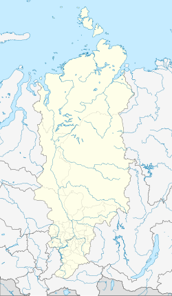
Tatarka ( Russian Татарка ) is a village in the Krasnoyarsk region ( Russia ), just under 50 kilometers east of the city of Lessosibirsk .
It is located in the central Siberian mountainous region on the right bank of the Angara, which is almost two kilometers wide, just before it flows into the Yenisei . Administratively, the village belongs to the Novoangarsk settlement ten kilometers upstream on the other side of the Angaraufer.
During the Stalin era , deportations were made from Transbaikalia to the Yenisei region, including to the former Udereisk district on the lower reaches of the Angara (now Motygino district ) to the villages of Rybnoje, Tatarka, Motygino and Saizewo, where the prisoners were mostly used in the timber industry.
In addition to the timber industry, a large vermiculite deposit with more than 2 million tons is economically important in the area.

