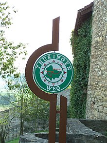
Thuringia way
| Thuringia way | |
|---|---|
| Data | |
| length | 410 km |
| location | Thuringia , Germany |
| Markers |
|
| Starting point |
Altenburg 50 ° 59 ′ 45.2 ″ N , 12 ° 26 ′ 35.5 ″ E |
| Target point |
Creuzburg 51 ° 3 '13.9 " N , 10 ° 14' 54.7" E |
| Type | trail |
| Height difference | 504 m |
| The highest point | 646 m |
| Lowest point | 142 m |
The Thüringenweg was a 410 km long hiking trail that crossed Thuringia from east to west.
The long-distance hiking trail was divided into 23 stages and passed eight districts and three independent cities:
- Altenburger Land district
- District of Greiz
- Gera
- Saale-Holzland district
- Jena
- Weimarer Land district
- District of Saalfeld-Rudolstadt
- Ilm district
- District of Gotha
- Wartburg district
- Eisenach
The partially poor signage on the way was criticized. Since regular maintenance cannot be guaranteed throughout, the residents decided in 2018 not to signposts or market the route in the future. In some places, however, there are still markings to be found.
literature
- Sabine Flöry, Jörg Schaar: Thüringenweg. The route is the goal. Conrad Stein Verlag , 2012, ISBN 978-3-86686-367-5 .
Web links
Commons : Thüringenweg - collection of images, videos and audio files
- The Thüringenweg on outdooractive.com
- The Thuringia Trail in stages
Individual evidence
- ↑ Ilmkreis: Thüringenweg can hardly be found without a map. December 13, 2011, accessed June 25, 2014 .
