Thatcher (Arizona)
| Thatcher | ||
|---|---|---|
|
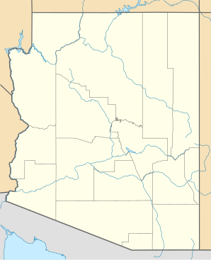
Location in Arizona
|
||
| Basic data | ||
| Foundation : | 1881 | |
| State : | United States | |
| State : | Arizona | |
| County : | Graham County | |
| Coordinates : | 32 ° 50 ′ N , 109 ° 46 ′ W | |
| Time zone : | Mountain Standard Time ( UTC − 7 ) | |
| Residents : | 4,121 (as of 2006) | |
| Population density : | 364.7 inhabitants per km 2 | |
| Area : | 11.3 km 2 (about 4 mi 2 ) of which 11.3 km 2 (about 4 mi 2 ) is land |
|
| Height : | 887 m | |
| Postal code : | 85552 | |
| Area code : | +1 928 | |
| FIPS : | 04-73420 | |
| GNIS ID : | 0012277 | |
| Website : | www.thatcheraz.com | |
| Mayor : | Bob Rivera | |
Thatcher is a US city in the US state of Arizona . Thatcher is located in south-east Arizona in Graham County . The county is named after the highest mountain in the area, Mount Graham . One of the largest observatories in the USA, the Large Binocular Telescope, is located on Mount Graham .
Thatcher had about 4,100 inhabitants in 2006. Thatcher's neighboring towns are Safford and Pima . The city is affected by US Highway 70 and is home to Eastern Arizona College.
Web links
Commons : Thatcher (Arizona) - Collection of images, videos, and audio files
