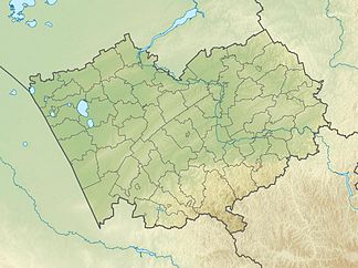
Tigirek comb
| Tigirek comb | ||
|---|---|---|
| location |
Altai Region ( Russia ) East Kazakhstan ( Kazakhstan ) |
|
| part of | Altai Mountains | |
|
|
||
| Coordinates | 50 ° 59 ′ N , 83 ° 29 ′ E | |
| rock | Granite , volcanite | |
The Tigirek-comb ( Russian Тигирецкий хребет ) is a mountain range on the Kazakh - Russian border in northwestern Altai Mountains .
The Tigirek ridge reaches a maximum height of 2299 m . The north side of the mountain range is of the two Tscharysch -Nebenflüssen Inja and Belaya drained. The mountain range consists of granite and volcanic rock . At altitudes of 600 to 800 m steppe vegetation predominates. To altitudes of 1800 m is boreal coniferous forest of spruce , larch and Siberian pines . Alpine flora and mountain tundra extend over it . This is located on the northern slope in RussiaTigirek Nature Reserve (Тигирекский заповедник).
Individual evidence
- ↑ a b c Article Tigirek comb in the Great Soviet Encyclopedia (BSE) , 3rd edition 1969–1978 (Russian)
