Toowong
Center of Toowong
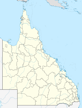
Toowong , Queensland , Australia , is a district of Brisbane with a population of about 11,000. Toowong is about 5 km from the city center.
geography Toowong is located between the Brisbane River and the mountain Mount Coot-tha . Most of the region is defined by flat hills and plains. Since the European settlement of the place, most of the areas have been cleared to make them usable for house construction. The urban parks are some exceptions.
Transport routes Toowong is a central transport hub through which almost all bus and train lines in the city run from the west.
Train connection: The Ipswich train line stops at Toowong Station , which is located below the Toowong Village office and shopping center .
Bus connection: Several bus lines connect the district with almost all places in the region.
Car Access: The multi-lane Coronation Drive and Milton Road connect Toowong to the north, Moggill Road and the Western Freeway to the south and west. Main streets within Toowong are High Street and Sherwood Road.
City Cat: The famous CityCat passenger ferry has a docking point in Toowong, which connects upstream with the city center and downstream with the University of Queensland .
Bicycle connections: Several well-developed bicycle paths, which are still often the exception in Australia, connect Toowong with several surrounding districts.
Important places Brisbane Boys' College - One of the main schools Brisbane Brisbane General Cemetery at Toowong - The largest cemetery in Queensland from 1866 Mount Coot-tha - Highest point in the city of Brisbane Botanic Gardens - Botanical garden near Mount Coot-tha Toowong Village - Office tower and shopping Center
Web links Individual evidence
↑ a b Australian Bureau of Statistics : Toowong English ) In: 2016 Census QuickStats . June 27, 2017. Retrieved April 15, 2020.
<img src="https://de.wikipedia.org//de.wikipedia.org/wiki/Special:CentralAutoLogin/start?type=1x1" alt="" title="" width="1" height="1" style="border: none; position: absolute;">


