Townville, South Carolina
| Townville | ||
|---|---|---|
|
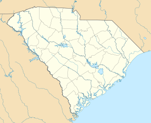
Location in South Carolina
|
||
| Basic data | ||
| State : | United States | |
| State : | South carolina | |
| County : | Anderson County | |
| Coordinates : | 34 ° 34 ′ N , 82 ° 54 ′ W | |
| Time zone : | Eastern ( UTC − 5 / −4 ) | |
| Height : | 249 m | |
| Postal code : | 29689 | |
| Area code : | +1 864 | |
| FIPS : | 45-72205 | |
| GNIS ID : | 1251191 | |
Townville is an unincorporated community in Anderson County in South Carolina , United States . Townville has a post office that was established on December 13, 1836. It has the ZIP code 29689.
geography
Townville is 15 miles west-northwest of Anderson on South Carolina Highway 24 . Townville's geographic coordinates are 34 ° 31 ' N , 82 ° 53' W (34.521037, −82.880237).
history
The place was formerly called Brownville, but since there was a post office called Brownville elsewhere in South Carolina, the postal administration changed the name to Townville.
supporting documents
- ↑ United States Postal Service: USPS - Look Up a ZIP Code . 2012. Retrieved February 15, 2012.
- ↑ Postmaster Finder - Post Offices by ZIP Code . United States Postal Service . Retrieved August 6, 2013.
- ↑ US Gazetteer files: 2013 . United States Census Bureau . 2013. Retrieved July 30, 2014.
- ↑ Elizabeth Belser Fuller: Anderson County Sketches . Anderson County Tricentennial Committee, 1969.
