Lower chair level
| Lower chair level | |||
|---|---|---|---|
| Compass direction | south | east | |
| Pass height | 825 m above sea level NHN | ||
| state | Baden-Württemberg | ||
| Valley locations | Böllental | Schönau | |
| Mountains | Black Forest | ||
| profile | |||
| Max. Incline | 11% | 18% | |
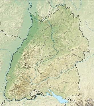
| Map (Baden-Württemberg) | |||
|
|
|||
| Coordinates | 47 ° 47 '59 " N , 7 ° 52' 4" E | ||
The lower chair level an 825 m above sea level. NHN high pass crossing between the Böllental and Schönau in the Black Forest in Baden-Württemberg . The pass connects a side valley of the Böllenbachtal with the hamlet of Wildböllen. The top of the pass is below the Belchen nature reserve .
profile
At an altitude of 638 m , a road branches off to the north from the L 131 along the Wildböllenbach. From the junction point, 187 meters in altitude are overcome over 3.2 kilometers, which corresponds to an average gradient of 5.8%. The maximum gradient of 11% is reached about halfway through the route. After the hamlet Wildböllen to 700 m , the road winds in several hairpin bends up to the pass, the 825 m same vertex has as few kilometers away Hau towards Neuenweg .
The east ramp overcomes 290 meters in altitude at 3.4 kilometers and leads via Schönenberg to Schönau in the Black Forest. The average gradient is 8.5%, the maximum gradient is 18%.
Web links
- Lower chair level (825 m) - pass description
Individual evidence
- ^ Regional information system of Baden-Württemberg (LeoBW): Wildböllen - archive material
- ^ Regional information system for Baden-Württemberg (LeoBW): Schönenberg - archive material
