Hau (Neuenweg)
| Hau (Neuenweg) | |||
|---|---|---|---|
|
View of Neuenweg from the hiking car park below the top of the pass |
|||
| Compass direction | west | east | |
| Pass height | 825 m above sea level NHN | ||
| state | Baden-Württemberg | ||
| Valley locations | Neuenweg | Wembach | |
| expansion | L131 | ||
| Mountains | Black Forest | ||
| profile | |||
| Max. Incline | 7.2% | 13% | |
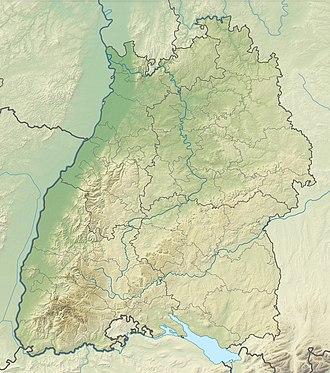
| Map (Baden-Württemberg) | |||
|
|
|||
| Coordinates | 47 ° 47 '44 " N , 7 ° 50' 11" E | ||
The Hau is 825 m above sea level. NHN high pass crossing between Neuenweg and Wembach in the southern Black Forest. The pass road (L131) running in east-west direction is around 8.5 kilometers long. The name is derived from the entanglement of trees and bushes, which is used to ward off enemy troops .
profile
The western driveway from Neuenweg overcomes an altitude difference of 105 meters over two kilometers, which corresponds to an average gradient of 5.2%. The maximum gradient is 7.2%. From the west ramp you have a direct view of the Belchen . The Belchenhöfe residential area branches off to the north from the west ramp .
To the north of the pass at around 845 m there is a pentagonal Sternschanze ( location ) from the turn of the 17th and 18th centuries. On the south side of the pass road there is next to a forest parking lot at around 840 m a square jump ( location ). Until the 18th century the Hau was part of the historical line of defense between Upper Austria and the Margraviate of Baden-Durlach . (→ Böllener Eck defense system )
The east ramp overcomes an altitude difference of 320 meters over 6.5 kilometers, which corresponds to an average gradient of 4.9%. The maximum incline in the upper third is up to 13%. About halfway down the ramp, the road branches off in a northerly direction via the Untere Stuhls level , another pass crossing.
Hamlet of Hau
At about 770 m is to be associated Neuenweg, eponymous hamlet height Hau . It is located around 150 meters southwest of the top of the pass ( location ).
Web links
- Hau (817 m) - pass description
- Hau-Zeiger-Rundweg - hiking trail description
- Südkurier : The Belchen summit comes under artillery fire in 1945 , article from March 16, 2017
Individual evidence
- ^ Regional information system for Baden-Württemberg (LeoBW): Belchenhöfe - living space - archive material
- ↑ Baden-Württemberg regional information system: The Sternschanze on the "Hau" near Neuenweg: an absolute rarity , last accessed on June 3, 2019
- ^ Matthias Schopp: GeoWandern Black Forest with Kaiserstuhl and Upper Rhine . Bergverlag Rother, Munich 2019, ISBN 978-3-7633-3203-8 , p. 95.
- ^ Regional information system for Baden-Württemberg (LeoBW): Hau - living space - archive material

