Guadalupe IV hydropower plant
| Guadalupe IV hydropower plant | |||
|---|---|---|---|
| location | |||
|
|
|||
| Coordinates | 6 ° 50 '22 " N , 75 ° 11' 21" W | ||
| country |
|
||
| Waters | Guadalupe River | ||
| Data | |||
| power | 202 MW | ||
| operator | Empresas Públicas de Medellín (EPM) | ||
| Start of operations | 1985 | ||
| turbine | 3 Francis turbines | ||
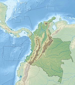
The Guadalupe IV hydropower plant (span. Central hidroeléctrica Guadalupe IV or Central hidroeléctrica Diego Calle Restrepo ) is located on the left bank of the Río Guadalupe , about one kilometer above its confluence with the Río Porce . The power plant is located in central northern Colombia in the Colombian Central Cordillera, almost 80 km north-northeast of the city of Medellín in the Department of Antioquia .
The water comes from an equalization basin ( ⊙ ) with a capacity of 22,000 m³ , which is located directly below the Guadalupe III hydropower plant , via an approximately 6.4 km long pipeline that runs through the ridge above the right bank of the river and an approximately 500 m long pressure line, which crosses under the river, to the Guadalupe IV power station. The power station went into operation in 1985. It replaced the two hydropower plants Guadalupe I (40 MW) and Guadalupe II (10 MW), which were shut down at the same time.
The Guadalupe IV power plant uses a drop height of 417 m. It has three Francis turbines , two with 67 MW and one with 68 MW. The expansion water volume is 23.5 m³ / s. The average annual energy production is 1205 GWh. Below the hydroelectric power station, the water is fed back into the river. 14 kilometers downstream is the Porce III dam .
![]() Map with all coordinates: OSM | WikiMap
Map with all coordinates: OSM | WikiMap
Individual evidence
- ↑ a b c Sistema de generación de energía de EPM . EPM. Retrieved September 12, 2019.
