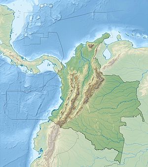
Guadalupe III hydropower plant
| Guadalupe III hydropower plant | |||
|---|---|---|---|
| location | |||
|
|
|||
| Coordinates | 6 ° 47 '35 " N , 75 ° 13' 38" W | ||
| country |
|
||
| Waters | Guadalupe River | ||
| Data | |||
| power | 270 MW | ||
| operator | Empresas Públicas de Medellín (EPM) | ||
| Start of operations | 1962, 1965, 1966 | ||
| turbine | 6 Pelton turbines | ||
The Guadalupe III hydropower plant (span. Central hidroeléctrica Guadalupe III ) is located on the right bank of the Río Guadalupe , a left tributary of the Río Porce , in central northern Colombia . The power plant is located in the Colombian Central Cordillera 70 km north-northeast of the city of Medellín in the Department of Antioquia at an altitude of around 1140 m .
The water is drained off at a weir ( ⊙ ) above the Salto de Guadalupe waterfall . The Troneras hydropower plant is located 2 km above the weir at the foot of the Troneras dam . Two approximately 650 m long pressure pipes lead the water to the six power plant units of Guadalupe III. Each unit has a vertically directed Pelton turbine with an output of 45 MW. The total installed output is therefore 270 MW. The first two units went into operation in 1962, two more followed in 1965 and the last two in 1966. The average annual energy production is 1617 GWh. Below the power plant, the water enters an equalization basin, from which the water is directed to the downstream Guadalupe IV hydropower plant .
![]() Map with all coordinates: OSM | WikiMap
Map with all coordinates: OSM | WikiMap
Individual evidence
- ↑ a b c Sistema de generación de energía de EPM ( es ) EPM. Retrieved September 12, 2019.
