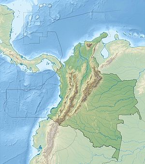
Porce III dam
| Porce III dam | |||||||||
|---|---|---|---|---|---|---|---|---|---|
|
|||||||||
|
|
|||||||||
| Coordinates | 6 ° 56 ′ 19 ″ N , 75 ° 8 ′ 19 ″ W | ||||||||
| Data on the structure | |||||||||
| Lock type: | CFR dam | ||||||||
| Construction time: | 2004-2011 | ||||||||
| Height of the barrier structure : | 151 m | ||||||||
| Building volume: | 4.1548 million m³ | ||||||||
| Crown length: | 426 m | ||||||||
| Crown width: | 8 m | ||||||||
| Power plant output: | 660 MW | ||||||||
| Operator: | Empresas Públicas de Medellín (EPM) | ||||||||
| Data on the reservoir | |||||||||
| Altitude (at congestion destination ) | 688 m | ||||||||
| Water surface | 4.6 km² | ||||||||
| Reservoir length | 11 km | ||||||||
| Storage space | 127 million m³ | ||||||||
| Total storage space : | 170 million m³ | ||||||||
| Catchment area | 3 698 km² | ||||||||
| Design flood : | 10 850 m³ / s | ||||||||
The Porce III dam is located on the Río Porce at river kilometer 75 in central northern Colombia in the Antioquia department . It was completed in 2004-2011. The facility is operated by Empresas Públicas de Medellín (EPM). Upstream is the Porce II dam on the Río Porce and the Guadalupe IV hydropower plant on the Río Guadalupe .
dam
The structure stands in the mountain range of the northern central Andes , 90 km northeast of the city of Medellín . The barrier structure, a CFR dam , is 151 m high and 426 m long. The flood relief is on the left abutment , it can discharge 10,850 m³ of water per second through a chute through its four openings.
Reservoir
The dam dams the river over a length of about 11 km. The storage volume is 169 million m³, the usable storage space is 127 million m³. The reservoir covers an area of a maximum of 461 ha. The catchment area covers an area of 3698 km². The target is 680 m .
Hydroelectric power plant
The water is fed through a 12.3 km long tunnel (diameter 10.2 m) and a 300 m long pressure tunnel to the power plant ( ⊙ ). This is located in two underground chambers (one for the engine room and one for the transformers). The cavern power plant has four Francis turbines . The total installed capacity is 660 MW. The net drop height is 322 m. An average of 4254 GWh can be generated per year. Below the power plant, the water returns to the river via a 900 m long tunnel ( ⊙ ).
![]() Map with all coordinates: OSM | WikiMap
Map with all coordinates: OSM | WikiMap
See also
Individual evidence
Web links
- Porce III
- Hydropower Project PORCE III Colombia (pdf, 533 kB)
