Matucana hydropower plant
| Matucana hydropower plant | |||
|---|---|---|---|
| location | |||
|
|
|||
| Coordinates | 11 ° 53 ′ 9 ″ S , 76 ° 27 ′ 22 ″ W | ||
| country |
|
||
| place | Lima region | ||
| Waters | Río Rímac | ||
| Data | |||
| Type | Run-of-river power plant | ||
| power | 140 MW | ||
| operator | Enel | ||
| Start of operations | 1972 | ||
| turbine | 2 Pelton turbines | ||
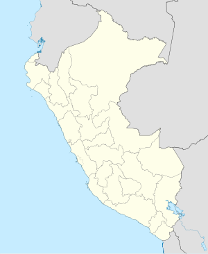
The Matucana hydropower plant (Spanish: Central Hidroeléctrica Matucana ) is located in the Peruvian Western Cordillera on the Río Rímac in the central west of Peru , 67 km east-northeast of the state capital Lima . The power plant is located in the Surco district in the Huarochirí province of the Lima administrative region . The facility is operated by Enel .
Hydroelectric power plant
The hydropower plant went into operation in 1972. It is equipped with 2 horizontally aligned Pelton turbines . The total installed capacity is 140 MW. The average annual energy production is 867 GWh. The power plant uses a gross drop height of 987 meters (net head: 966 m). The expansion water volume is 15.8 m³ / s.
The water of the Río Rímac is diverted at a weir 22.5 km upstream ( ⊙ ) and passed through a 19.4 km long pipeline to the expansion tank (2 underground chambers, each with 30,000 m³ volume) of the hydropower plant. From this a 1.8 km long pressure line leads to the power plant. Below the power plant, the water is fed to the Callahuanca hydropower plant via an 18 km underground pipeline .
Yuracmayo dam
The Yuracmayo dam ( ⊙ ) was completed in 1995. It is located on the Río Blanco , a tributary of the Río Rímac. The dam serves as a water reservoir for the power plant. The 56 m high and 590 m long dam has a clay core. The dam volume is 1.7 million m³, the useful volume 48 million m³.
![]() Map with all coordinates: OSM | WikiMap
Map with all coordinates: OSM | WikiMap
