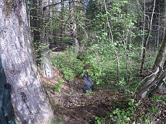
White brook
|
Weißer Bach lower course name: Brunnwiesgraben |
||
|
White brook at the outlet of the Hochschloßweiher |
||
| Data | ||
| location | Bavaria | |
| River system | Danube | |
| Drain over | Ammer → Isar → Danube → Black Sea | |
| Headwaters | Kerschlacher Forst 47 ° 55 ′ 31 ″ N , 11 ° 12 ′ 17 ″ E |
|
| Source height | approx. 717 m above sea level NHN | |
| muzzle | from the south near Mitterfischen as Brunnwiesgraben in the Ammersee Coordinates: 47 ° 56 ′ 25 ″ N , 11 ° 8 ′ 48 ″ E 47 ° 56 ′ 25 ″ N , 11 ° 8 ′ 48 ″ E |
|
| Mouth height | approx. 533 m above sea level NHN | |
| Height difference | approx. 184 m | |
| Bottom slope | approx. 26 ‰ | |
| length | approx. 7.2 km | |
The White Bach is a tributary of the Ammersee in the Upper Bavarian district of Weilheim-Schongau .
geography
The white Bach arises in Kerschlacher timber and flows initially in a westerly direction, fed and passes through the high Schlossweiher , then the north and by a bend back westerly direction by the Weiler front fish , to the mouth of the south to the Ammersee, in the local area as Brunnwies trench designated .
Individual evidence
Web links
- Course of the White Bach on the BayernAtlas
