Wolf chews
|
Wolf chews
City of Rauschenberg
Coordinates: 50 ° 53 ′ 54 ″ N , 8 ° 54 ′ 2 ″ E
|
||
|---|---|---|
| Height : | 332 (324-332) m | |
| Area : | 32 ha | |
| Incorporation : | December 31, 1971 | |
| Postal code : | 35282 | |
| Area code : | 06425 | |
|
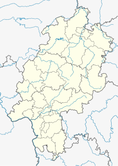
Location of Wolfskaute in Hessen |
||
|
Entrance from the south
|
||
Wolfskaute is a district of the town of Rauschenberg in the Marburg-Biedenkopf district in Hesse .
Geographical location
The place is on the edge of the castle forest about two kilometers northwest of the core town of Rauschenberg and 1 km east of the district Schwabendorf .
history
The place name is likely to be traced back to a wolf dwelling / cave (see Kaute ) or a hunting facility ( Wolfskuhle ).
The village was founded in 1699 as a daughter settlement of Schwabendorf. At that time 116 French religious refugees, the so-called Waldensians , settled there . From 1821 to 1932 Wolfskaute belonged to what was then the Kirchhain district .
The place had the following population figures:
- 1933: 31 inhabitants
- 1939: 33 inhabitants
- 1961: 31 inhabitants
- 1970: 34 inhabitants
On December 31, 1971, Wolfskaute was incorporated into the town of Rauschenberg.
literature
- Sigrid Althaus: Huguenot villages around Marburg and Frankenberg. Hitzeroth, Marburg 1989, series Landeskundliche Bildbände Hessen 2, ISBN 3-925944-76-1 , chap. Wolfskaute pp. 73-75
Individual evidence
- ^ Federal Statistical Office (ed.): Historical municipality directory for the Federal Republic of Germany. Name, border and key number changes in municipalities, counties and administrative districts from May 27, 1970 to December 31, 1982 . W. Kohlhammer GmbH, Stuttgart / Mainz 1983, ISBN 3-17-003263-1 , p. 402 .


