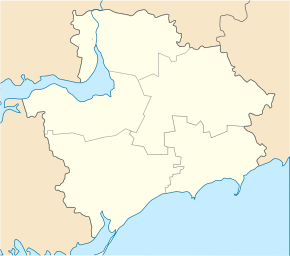
Woskressenka (Polohy)
| Woskressenka | ||
| Воскресенка | ||

|
|
|
| Basic data | ||
|---|---|---|
| Oblast : | Zaporizhia Oblast | |
| Rajon : | Polohy Rajon | |
| Height : | 122 m | |
| Area : | 11.971 km² | |
| Residents : | 3,648 (2004) | |
| Population density : | 305 inhabitants per km² | |
| Postcodes : | 70624 | |
| Area code : | +380 6165 | |
| Geographic location : | 47 ° 28 ' N , 36 ° 22' E | |
| KOATUU : | 2324287901 | |
| Administrative structure : | 3 villages, 1 settlement | |
| Address: | вул. Маяковського 8 70624 с. Воскресенка |
|
| Statistical information | ||
|
|
||
Voskressenka ( Ukrainian and Russian Воскресенка ) is a village in the center of the Ukrainian Oblast of Zaporizhia with about 3,600 inhabitants (2004).
The village, founded on the right bank of the Kinska in 1809 , was called Tschapajewka / Чапаєвка between 1934 and 2016 and is the administrative center of the rural community of the same name in Polohy district .
Voskressenka is located on the T – 08–15 territorial road 9 km east of the Polohy district center and about 110 km southeast of the Zaporizhia Oblast center .
For rural community Woskressenka ( Воскресенська сільська громада ), which has a total area of 264.7 km², are still the villages Kinski Rosdory with about 3100 inhabitants and Losowe ( Лозове ⊙ ) with about 70 inhabitants and the settlement Mahedowe ( Магедове ⊙ ) with about 160 inhabitants.
Individual evidence
- ^ Website of the district council on the website of the Verkhovna Rada , accessed on August 20, 2017 (Ukrainian)
- ↑ a b website of the village on the website of the Verkhovna Rada , accessed on August 20, 2017 (Ukrainian)
- ↑ [1]

