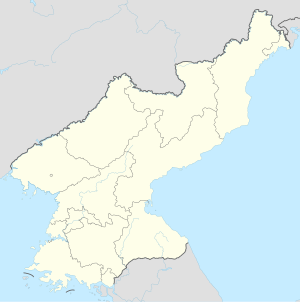
Yanggak Bridge
Coordinates: 38 ° 59 ′ 29 " N , 125 ° 44 ′ 55" E
| Yanggak Bridge | ||
|---|---|---|
| The Yanggak Bridge | ||
| use | Road traffic , rail traffic | |
| Convicted | Yanggak-do | |
| Crossing of | Taedong gang | |
| place | Pyongyang , P'yŏngch'ŏn-guyŏk , Chung-guyŏk , Sŏngyo-guyŏk districts | |
| completion | 1905 | |
| location | ||
|
|
||
The Yanggak Bridge is a road and rail bridge in the North Korean capital, Pyongyang . It connects the districts of P'yŏngch'ŏn-guyŏk , Chung-guyŏk with the district of Sŏngyo-guyŏk with an overpass over the island of Yanggak and is one of the six bridges that cross the Taedong-gang in Pyongyang .

The bridge was built in 1904/05 as part of the Keigi Line by the Japanese , who had received the concession for the line. Together with the Taedong Bridge , which was built in the same year , it is one of the two oldest Pyongyang east-west connections over the Taedong Gang.
It is divided into a north section, north of Yanggak-do, and a south section, south of the island, and actually consists of two parallel bridges, one for rail traffic with a connection to the nearby Pyongyang main station and Taedonggang station, as well as one built later for the Road traffic.
While foreign visitors are allowed to move freely on the island of Yanggak-do, the inspection of the bridge as a connection to the mainland is generally not allowed for foreigners.


