Okryu Bridge
Coordinates: 39 ° 1 ′ 31 ″ N , 125 ° 45 ′ 39 ″ E
| Okryu Bridge | ||
|---|---|---|
| The Okryu Bridge over the Taedong Gang | ||
| Official name |
Hangeul : 옥류교 Hanja : 玉 流 橋 Revised Romanization : Ongnyugyo McCune-Reischauer : Ongnyugyo |
|
| use | Road traffic | |
| Convicted | Mansudae Street - Tongdaewon Street | |
| Crossing of | Taedong gang | |
| place | Pyongyang , Chung-guyŏk District , Taedonggang-guyŏk | |
| construction | Girder bridge | |
| overall length | 700 m | |
| width | 28.5 m | |
| start of building | 1958 | |
| completion | 1960 | |
| opening | August 13, 1960 | |
| location | ||
|
|
||
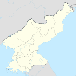
The Okryu Bridge is a road bridge in the North Korean capital, Pyongyang . It connects the Chung-guyŏk district via the Jongo Crossing with the Taedonggang-guyŏk district in East Pyongyang, where it leads to the Tongdaewon Road, and is one of the six bridges that cross the Taedong-gang in Pyongyang .
The four-lane girder bridge was built from 1959 to 1960 and opened to road traffic on August 13, 1960. It has a length of 700 meters and a width of 28.50 meters. The construction is a box girder bridge made of prestressed concrete .
The stamp from a stamp series from 1990 shows a painting of the Okryu Bridge.
Web links
Commons : Okryu Bridge - collection of images, videos and audio files
Individual evidence
- ↑ Okryu Bridge. In: Structurae
- ^ Philipp Meuser (Ed.): Architectural Guide Pyongyang. Volume 1: Photos and Descriptions. DOM publishers, Berlin 2011, ISBN 978-3-86922-126-7 , p. 102.
- ↑ North Korea Specimens stampsbythemes.com

