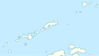
Zavet Saddle
| Zavet Saddle ( mountain saddle ) |
|||
|---|---|---|---|
|
Map of Smith Island with the Zavet Saddle (center) |
|||
| Compass direction | Northwest ( Bistra Glacier ) | Southeast ( Dragoman Glacier ) | |
| height | 1410 m | ||
| Smith Island , South Shetland Islands | |||
| Mountains | Imeon Range | ||
| map | |||
|
|
|||
| Coordinates | 63 ° 0 '22 " S , 62 ° 33' 56" W | ||
The Zavet Saddle (English; Bulgarian седловина Завет sedlowina Sawet ) is a 1410 m high saddle on Smith Island in the archipelago of the South Shetland Islands . In the Imeon Range, it lies between Slaveykov Peak in the southwest and Mount Foster in the northeast. It represents the watershed between the Dragoman Glacier and the Bistra Glacier .
Bulgarian scientists mapped it in 2009. The Bulgarian Commission for Antarctic Geographical Names named it in 2008 after the town of Savet in northeastern Bulgaria .
Web links
- Zavet Saddle in the Composite Gazetteer of Antarctica (English)

