Îles du Duc de Gloucester
| Îles du Duc de Gloucester | ||
|---|---|---|
| Waters | Pacific Ocean | |
| archipelago | Tuamotu Archipelago | |
| Geographical location | 20 ° 34 ′ S , 143 ° 18 ′ W | |
|
|
||
| Number of islands | 3 atolls | |
| Main island | Anuanurunga | |
| Total land area | 9.8 km² | |
| Residents | uninhabited | |
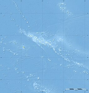
The Îles du Duc de Gloucester (Duke of Gloucester Islands) are three atolls in the southern Tuamotu Archipelago in French Polynesia , 480 km southeast of Tahiti . The closest island is Héréhérétué . The Duke of Gloucester Islands administratively belong to the municipality of Hao , and therein to the sub-municipality ( commune associée ) Héréhérétué.
The first Europeans reached the islands in 1767 with the expedition of the Englishman Philipp Carteret in the course of his second circumnavigation and named them after Duke Wilhelm Heinrich von Gloucester .
None of the three atolls Anuanuraro , Anuanurunga and Nukutepipi are permanently inhabited. The human economy is limited to the production of Tahitian pearls , for this purpose airplane landing pads have been set up on Anuanuraro and Nukutepipi.
