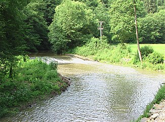
Želetavka
| Želetavka | ||
| Data | ||
| location | Czech Republic | |
| River system | Danube | |
| Drain over | Thaya → March → Danube → Black Sea | |
| muzzle |
Thaya coordinates: 48 ° 56 ′ 20 " N , 15 ° 42 ′ 8" E 48 ° 56 ′ 20 " N , 15 ° 42 ′ 8" E |
|
| Mouth height |
342 m
|
|
The Želetavka (German Schelletau ) is a tributary of the Thaya .
It rises in Lesná near Jemnice in Moravia , Czech Republic . In the upper area the river bed is narrow and overgrown. After Lubnice it gets deeper and stones and river rocks appear. It flows into the Thaya at the Bítov castle .
