A78 road
| A78 road in the UK | |

|
|
| map | |
| Basic data | |
| Operator: | |
| Start of the street: | Greenock |
| End of street: | Monkton (South Ayrshire) |
| Overall length: | 65 km (40.4 mi ) |
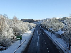
| The Inverkip bypass (photo 2009) | |
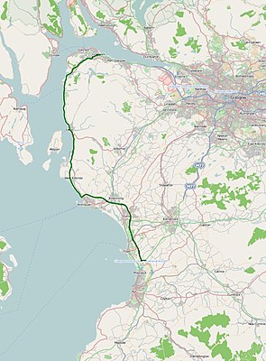
The A78 road ( English for road A78 ) is a 65 km long, continuously designated primary route road in Scotland, which connects Greenock with Monkton (South Ayrshire) and thus a slightly longer access from Glasgow to Glasgow Prestwick Airport compared to the A77 road forms.
course
The road joins the A8 road in Greenock and, unlike the A770 road, cuts the north-western tip of County Inverclyde . In Largs the A760 road branches off into the hinterland. At Ardrossan the road leaves the coast and runs with separate lanes as a dual carriageway around Irvine ; it crosses the A71 road . It continues to follow the coast in a southerly direction until it meets the short A79 road north of Monkton and ends after about one kilometer on the A77 road .

