Afon Cyll-y-felin
|
Afon Cyll-y-felin Afon Cyllyfelin, River Cyll-y-felin |
||
|
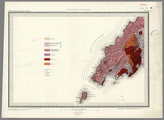
Geological map of the Lleyn Peninsula (1850) |
||
| Data | ||
| location | Lleyn Peninsula , Gwynedd , Wales | |
| River system | Afon Daron | |
| Drain over | Afon Daron → Cardigan Bay | |
| River basin district | Western Wales RBD | |
| source | on the plateau north of the B4413 52 ° 50 ′ 52 ″ N , 4 ° 40 ′ 36 ″ W |
|
| muzzle | in Aberdaron in the Afon Daron coordinates: 52 ° 48 '16 " N , 4 ° 42' 43" W 52 ° 48 '16 " N , 4 ° 42' 43" W.
|
|
| length | 7.7 km | |
The Afon Cyll-y-felin (River Cyll-y-felin) is a stream on the Lleyn Peninsula . It rises on the plateau north of the B4413 and flows in a northerly curve to the southwest. In Aberdaron it unites in the center with the Afon Daron , shortly before it flows into the Aberdaron Bay. The stream is about 7.7 km long and has three tributaries.
