Afon Daron
|
Afon Daron River Daron |
||
|
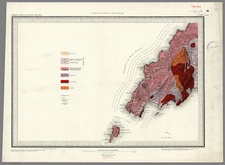
Geological map (1850) |
||
| Data | ||
| location | Lleyn Peninsula , Gwynedd , Wales | |
| River system | Afon Daron | |
| River basin district | Western Wales RBD | |
| source | on the plateau south of the B4413 52 ° 50 ′ 27 ″ N , 4 ° 39 ′ 58 ″ W |
|
| muzzle | in Aberdaron in Aberdaron Bay (side bay of Cardigan Bay ) Coordinates: 52 ° 48 '12 " N , 4 ° 42' 56" W 52 ° 48 '12 " N , 4 ° 42' 56" W
|
|
| length | 4.3 km | |
| Right tributaries | Afon Cyll-y-felin | |
The Afon Daron (River Daron) is a stream on the Lleyn Peninsula . It rises on the plateau south of the B4413 and flows in a southern curve to the southwest. In Aberdaron , it joins the Afon Cyll-y-felin in the center of the village, shortly before it flows into Aberdaron Bay . The stream is about 4.3 km long. A bridge spanning the stream in the center of the village was built in 1825. It has four short source streams.
literature
- KM Sheard: Llewellyn's Complete Book of Names for Pagans, Wiccans, Witches, Druids, Heathens, Mages, Shamans & Independent Thinkers of All Sorts who are Curious about Names from Every Place and Every Time . Llewellyn Worldwide, 2011, ISBN 978-0-7387-2368-6 .
