Altenalptürm
| Altenalptürm | ||
|---|---|---|
|
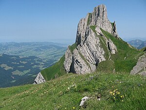
Altenalp tower from the southwest |
||
| height | 2033 m above sea level M. | |
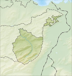
| location | Canton of Appenzell Innerrhoden , Switzerland | |
| Mountains | Alpstein , Appenzell Alps | |
| Dominance | 0.45 km → Hanging | |
| Notch height | 133 m ↓ Lötzlisalpsattel | |
| Coordinates | 746 781 / 237347 | |
|
|
||
| rock | limestone | |
|
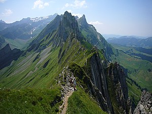
Altenalptürm from the northeast, behind in the haze the Säntis with radio tower. |
||
At the Altenalptürm , three summit points in the Swiss canton of Appenzell Innerrhoden form a mountain peak at a height of 2033 m , high above the Seealpsee in the northern Alpstein chain.
Of the three distinct peaks only their two-measured points which are on the National Map listed are. They are called the Eastern (no altitude), Middle (highest) and Western ( 2019 m ) peaks and are connected to each other by ridges .
The Altenalp, which gives it its name, lies east of the towers and south of the Schäflers ; it is open from June to September.
Specialty
Here is the northernmost point in Switzerland, which is over 2000 m above sea level. M. lies.
Access
The mountain path from Schäfler in the direction of Lötzlialpsattel leads south directly under the Altenalptürmen, but the peaks themselves, which used to be popular with climbers, are rarely climbed (from summer 2009 to June 2010 only three entries in the summit book).
Web links
Individual evidence
- ↑ Crossing the Altenalptürm . Hikr.org. August 28, 2009. Retrieved September 25, 2010.
- ↑ Revisited and completed: Altenalptürm - with the Säntis as an encore . Hikr.org. Retrieved September 25, 2010.


