Andrijaschiwka (Romny)
| Andrijaschivka | ||
| Андріяшівка | ||

|
|
|
| Basic data | ||
|---|---|---|
| Oblast : | Sumy Oblast | |
| Rajon : | Romny district | |
| Height : | 113 m | |
| Area : | Information is missing | |
| Residents : | 2,089 (2004) | |
| Postcodes : | 42087 | |
| Area code : | +380 5448 | |
| Geographic location : | 50 ° 34 ' N , 33 ° 23' E | |
| KOATUU : | 5924181101 | |
| Administrative structure : | 5 villages | |
| Address: | вул. Соборна 11 42087 с. Андріяшівка |
|
| Statistical information | ||
|
|
||
Andrijaschiwka ( Ukrainian Андріяшівка ; Russian Андрияшевка Andrijaschewka ) is a village in the southwest of the Ukrainian Sumy Oblast with about 2000 inhabitants (2004).
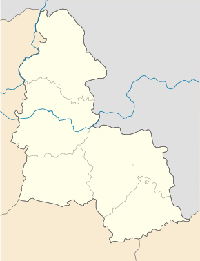
Andrijaschiwka is located in Romny district on the left bank of the Sula , a tributary of the Dnieper . The regional road P-60 runs through the village . The district center of Romny is 28 km north and the Oblast center Sumy 123 km northeast of the village.
The village, first mentioned in 1666, has a train station and is the center of the district council of the same name , which also includes the villages
- Hudymy ( Гудими ⊙ ) with about 670 inhabitants
- Luzenkowe ( Луценкове ⊙ ) with 3 inhabitants
- Melnyky ( Мельники ⊙ ) with about 120 inhabitants
- Nowyzke ( Новицьке ⊙ ) with 4 inhabitants
and the 1988 abandoned village Krynychky ( Кринички ) belong.
Individual evidence
- ↑ The village's website on the Verkhovna Rada website , accessed on April 30, 2015

