Bang Lang Dam
| Bang Lang Dam | |||||
|---|---|---|---|---|---|
|
|||||
|
|
|||||
| Coordinates | 6 ° 9 '22 " N , 101 ° 16' 17" E | ||||
| Data on the structure | |||||
| Construction time: | 1976-1981 | ||||
| Height of the structure crown: | 85 m | ||||
| Crown length: | 422 m | ||||
| Operator: | EGAT (Electricity Generating Authority of Thailand) | ||||
| Data on the reservoir | |||||
| Total storage space : | 1,420 million m³ | ||||
The Bang Lang Dam ( Thai : เขื่อน บาง ลาง ) is located in the southern Thai province of Yala and is the first multi-purpose dam in the south of the country. It is used for irrigation , to prevent flooding and to generate 1,275 kW of electrical power.
location
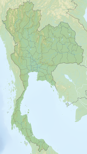
The Bang Lang Dam is located in Ban Bang Lang, ( Tambon ) Bacho Township , Bannang Sata County ( Amphoe ) on Highway 410, approximately 60 kilometers from Yala City . It is operated by the Thai electricity authority EGAT (Electricity Generating Authority of Thailand).
The dam on the Pattani River is surrounded by the picturesque mountains of the Malay Peninsula .
Facilities
The dam of the Bang Lang Dam is about 85 meters high, while the top of the wall is about 422 meters long. The capacity of the reservoir is 1.42 billion cubic meters. The reservoir can be explored by boat.
There are log cabins near the dam where you can spend the night.
history
The construction of the Bang Lang Dam was approved on April 3, 1973. Work began in July 1976 and lasted until June 1981. On September 27, 1981, the dam was ceremonially opened in the presence of King Bhumibol Adulyadej (Rama IX). It forms the first multi-purpose dam in the south of the country and is still the largest-capacity dam in Yala.
literature
- Tourism Authority Thailand: Driving in Thailand: Southern Route . Bangkok 2006. p. 5.
Web links
- Site about the Bang Lang Reservoir (in Thai)
