Biloela
| Biloela | |||||||
|---|---|---|---|---|---|---|---|
|
|||||||
|
|||||||
|
|||||||
|
|||||||
|
|
|||||||
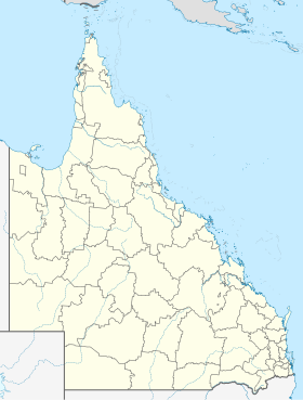
Biloela (pronunciation / bɪləˈwiːlə /) is a city in central Queensland , Australia . It is the center of the LGA Banana Shire Council .
The name comes from the word for cockatoo in the Aboriginal language .
It is located approximately 120 km southwest of Gladstone , at the intersection of Motorways 17 Burnett Highway and 60 Dawson Highway .
The city lives mainly from the mining of black coal and agriculture , as well as animal husbandry .
About 40 km to the west is the Kroombit Tops National Park .
One of the largest employers is Teys Bros., a slaughterhouse that processed 703 cattle every day in 2005.
Sons and daughters
- Bille Brown (1952-2013), actor
- Sandy Curtis (born 1948), writer
Web links
Commons : Biloela - collection of images, videos and audio files
Individual evidence
- ^ Australian Bureau of Statistics : Biloela ( English ) In: 2016 Census QuickStats . June 27, 2017. Retrieved April 13, 2020.
- ↑ Introducing Banana Shire ( Memento of the original from May 18, 2009) Info: The archive link was inserted automatically and has not yet been checked. Please check the original and archive link according to the instructions and then remove this notice. , www.banana.qld.gov.au. Retrieved November 22, 2012
- ↑ TEYS AUSTRALIA PROCESSING PLANTS , teysaust.com.au. Retrieved November 22, 2012
