Nostrils
| Nostrils | ||
|---|---|---|
|
Brünstkopf summit area |
||
| height | 1050 m above sea level NN | |
| location | Bavaria , Germany | |
| Mountains | Bavarian Prealps | |
| Dominance | 0.44 km → Achselkopf | |
| Notch height | 53 m | |
| Coordinates | 47 ° 35 '26 " N , 11 ° 31' 6" E | |
|
|
||
| Normal way | Mountain hike, pathless and unmarked in the upper area | |
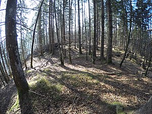
The Brünstkopf is a 1050 m high summit in the Bavarian Prealps , which forms the western end of the Rauchberg ridge .
The completely wooded summit can be reached via forest paths, at the end pathless.

