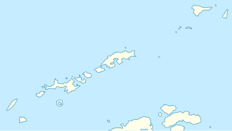
Charrúa Gap
| Charrúa Gap ( notch ) |
|||
|---|---|---|---|
|
View from Mount Friesland to the Charrúa Gap |
|||
| Compass direction | east | west | |
| height | 275 m | ||
| Livingston Island , South Shetland Islands | |||
| map | |||
|
|
|||
| Coordinates | 62 ° 39 ′ 18 ″ S , 60 ° 19 ′ 29 ″ W | ||
The Charrúa Gap (English; Bulgarian седловина Чаруа sedlowina Tscharua ) is a 275 m high, flat and icy mountain pass on the Livingston Island in the archipelago of the South Shetland Islands . On the Hurd Peninsula , it runs between the Castillo-Nunatak in the north and the Charrúa Ridge in the south. Its center is 2.5 km southeast of Sinemorets Hill and 3.35 km east-northeast of Queen Sofia Mount . To the south there is a connection to Napier Peak .
This mountain pass provides access from the Bulgarian St. Kliment-Ohridski Station and the Spanish Juan Carlos I Station into the interior of the island. The Bulgarian Commission for Antarctic Geographical Names named it in 1997 based on the name of the Charrúa Ridge . Whose namesake is the Charrúa , a previously named Marietta listed tug of the United States Navy , which was used in 1947 lasted until 1948 Argentine Antarctic expedition.
Web links
- Charrúa Gap in the Composite Gazetteer of Antarctica (English)

