Dadel
|
Dadel
City of Bergisch Gladbach
Coordinates: 51 ° 0 ′ 13 ″ N , 7 ° 5 ′ 56 ″ E
|
||
|---|---|---|
|
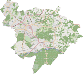
Location of Dählchen in Bergisch Gladbach |
||
Dählchen is a district in the Paffrath district of Bergisch Gladbach .
history
The name Dählchen picks up on the old tub designation Am Dählchen , which is recorded in the original cadastre on the way from Paffrath to Huve (Hufer Weg).
etymology
The field name Dählchen is mentioned as early as the 15th century in the forms Thal , Daele and Dellen and arose from the Middle High German telle (= gorge). The diminutive Dählchen is used as a terrain name for a flat, smaller depression in the terrain or for a ravine or a valley basin. The Dählchen presented here was probably a ravine , also known as Lichgaß (Leichengasse), which ran here.
Individual evidence
- ^ A b Andree Schulte, Bergisch Gladbach, city history in street names , published by the Bergisch Gladbach city archive, volume 3, and by the Bergisches Geschichtsverein department Rhein-Berg e. V., Volume 11, Bergisch Gladbach 1995, p. 65, ISBN 3-9804448-0-5
literature
- Anton Jux: The Bergisch Botenamt, the history of Bergisch Gladbach up to the Prussian era , published by the Culture Office of the City of Bergisch Gladbach, Bergisch Gladbach 1964
