Pannenberg
|
Pannenberg
City of Bergisch Gladbach
Coordinates: 50 ° 59 ′ 56 ″ N , 7 ° 6 ′ 24 ″ E
|
||
|---|---|---|
|
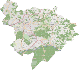
Location of Pannenberg in Bergisch Gladbach |
||
Pannenberg is a district in the Paffrath district of Bergisch Gladbach .
history
The name of the settlement Pannenberg goes back to a designation that is recorded in the original cadastre in the area of today's street.
etymology
The defining word is derived from the Middle High German word phanne (= pan ) and probably referred to early historical pottery shards that came to light when the field was plowed. In the area of the intersection of Paffrather Straße and Alte Wipperfürther Straße, an Iron Age burial mound field was discovered at the beginning of the 20th century , so that a prehistoric settlement in the area of Pannenberg is proven.
Individual evidence
- ^ A b Andree Schulte, Bergisch Gladbach, city history in street names , published by the Bergisch Gladbach city archive, volume 3, and by the Bergisches Geschichtsverein department Rhein-Berg e. V., Volume 11, Bergisch Gladbach 1995, pp. 72 f., ISBN 3-9804448-0-5
literature
- Anton Jux: The Bergisch Botenamt, the history of Bergisch Gladbach up to the Prussian era , published by the Culture Office of the City of Bergisch Gladbach, Bergisch Gladbach 1964
