Kämperfeld
|
Kämperfeld
City of Bergisch Gladbach
Coordinates: 50 ° 59 ′ 43 ″ N , 7 ° 5 ′ 31 ″ E
|
||
|---|---|---|
|
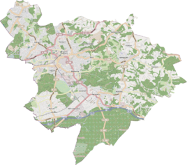
Location of Kämperfeld in Bergisch Gladbach |
||
Kämperfeld is a district in the Paffrath district of the city of Bergisch Gladbach in the Rheinisch-Bergisches Kreis . It now forms a closed settlement area with Paffrath, so that it is no longer perceived as an independent district.
Location and description
The street Kämperfeld is named after the village, which is recorded as a name of the tub in the original cadastre . The original development no longer exists.
history
In 1830, 14 people lived in the farmyard called Kemperfeld . In 1845, nine people lived in one house in what was classified as an arable estate . The place belonged to the parish Paffrath in the mayor's office Gladbach. With the Rhenish City Code , Gladbach became a city in 1856, which was then given the addition of Bergisch in 1863 .
Individual evidence
- ^ Andree Schulte, Bergisch Gladbach, Stadtgeschichte in Straßenennamen , second edition supplemented and newly illustrated by Albert Eßer, Bergisch Gladbach 2015, p. 78, ISBN 978-3-9813488-4-2
- ↑ Friedrich von Restorff : Topographical-statistical description of the Royal Prussian Rhine Province , Nicolai, Berlin and Stettin 1830
- ↑ Overview of the components and list of all the localities and individually named properties of the government district of Cologne: by districts, mayor's offices and parishes, with information on the number of people and the residential buildings, as well as the Confessions, Jurisdictions, Military and former state conditions. / ed. from the Royal Government of Cologne [Cologne], [1845]
