Drom Hasharon
| Drom Hasharon | ||
|---|---|---|

|
||
| Basic data | ||
| hebrew : | מועצה אזורית דרום השרון | |
| State : |
|
|
| District : | Central | |
| Founded : | 1980 | |
| Coordinates : | 32 ° 8 ′ N , 34 ° 55 ′ E | |
| Area : | 95 km² | |
| Residents : | 24,600 (2009) | |
| Population density : | 259 inhabitants per km² | |
| Time zone : | UTC + 2 | |
| Community type: | Regional administration | |
| Mayor : | Moti Daldzo | |
|
|
||
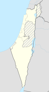
Drom HaScharon ( Hebrew מועצה אזורית דרום השרון, Mo'atza Azorit Drom ha-Scharon in German southern Sharon ) is a regional administration in the Israeli central district .
location
The regional administration is located northeast of Tel Aviv and west of the Green Line in the Sharon Plain . Nearby are the cities of Kfar Saba and Petach Tikva .
history
In the area of today's regional administration, a compact area with Jewish agricultural settlements emerged as early as the early 20th century. The rest of the Arab population left this area during the 1948 War of Independence .
Drom HaScharon was founded on March 30, 1980 by a merger of the regional administrations Yarkon, Mif'alot Afek and HaScharon HaTikhona. The seat of the administration was initially in Kfar Malal. At the beginning of the 21st century it was relocated near the moshav Neve Jarak.
Residents
The Israeli Central Statistical Office gives the following population figures for the regional administration in the censuses of May 22, 1961, May 19, 1972, June 4, 1983, November 4, 1995 and December 28, 2008:
| Year of the census | 1961 | 1972 | 1983 | 1995 | 2008 |
| Number of inhabitants | 9,800 | 11,100 | 10,200 | 15,600 | 23,500 |
structure
- 7 kibbutzim : → List of kibbutzim
- 19 moshavim : → table of moshavim
- 3 community settlements : → Table of community settlements
- 2 Local villages : Beit Berl and Ramot HaSchavim
