Forollsjøen
| Forollsjøen | ||
|---|---|---|

|
||
| Geographical location | Provinces of Innlandet and Trøndelag , Norway | |
| Drain | Fora → Dalbusjøen → Gaula → Trondheimfjord → Atlantic | |
| Location close to the shore | Røros | |
| Data | ||
| Coordinates | 62 ° 41 '18 " N , 10 ° 49' 7" E | |
|
|
||
| Altitude above sea level | 992 moh. | |
| surface | 3.765 1 km² | |
| length | 3.05 km | |
| width | 1.98 km | |
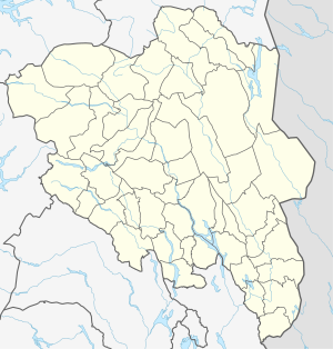
The Forollsjøen or Forolsjøen is a lake in Norway . About half of it is located in the province of Innlandet and half in Trøndelag , immediately east of Forollhogna and belongs to the municipalities of Midtre Gauldal and Holtålen .
The lake is at 992 moh. and has a water surface of 3.7651 km². It flows through its outflow in the north over the Fora river , which later flows into the Gaula .
Tourism and development
Due to the rich trout stocks , the lake is a popular body of water for sport fishing . Around the lake there are two boathouses and eleven small huts that serve as fishing accommodations.
From Østerdalen over Vangrøftdalen and past Forollsjøen to Budalen there is a pilgrimage route .
useful information
Archaeological finds in the bank area suggest that Forollsjøen may have been a Sami sacrificial site in earlier times . Remnants of Sami settlements and the remains of pitfalls used for deer hunting were also found.
The southern part of the lake in Hedmark Province is an important nesting site for ducks and waders .
See also
Web links
- Fishing in Forollhogna National Park , midtnorsknatur.no
Individual evidence
- ↑ a b c d e f g Forvaltningsplan for Forollhogna nasjonalpark ( Memento of the original from July 3, 2015 in the Internet Archive ) Info: The archive link has been inserted automatically and has not yet been checked. Please check the original and archive link according to the instructions and then remove this notice. , tolga.kommune.no, accessed on December 28, 2012 (Norwegian)
- ↑ Topographic map Forollsjøen ( page no longer available , search in web archives ) Info: The link was automatically marked as defective. Please check the link according to the instructions and then remove this notice. , ut.no, accessed December 28, 2012 (Norwegian)
